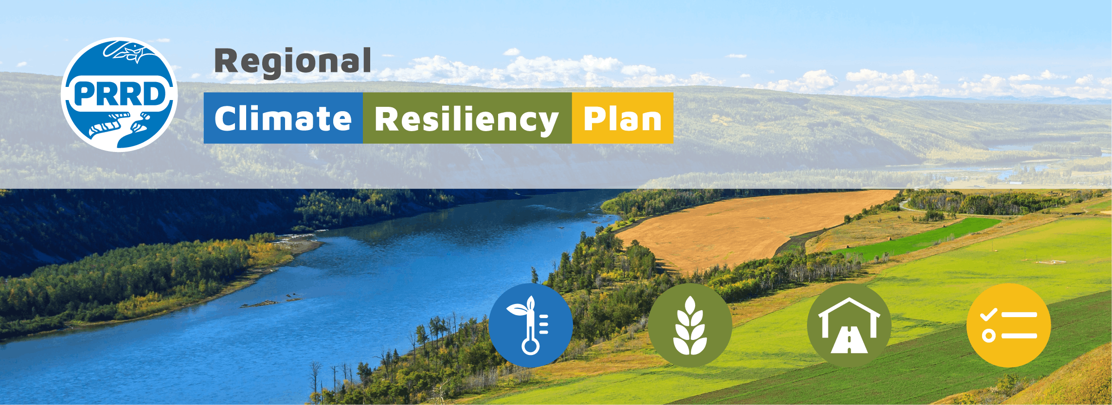
Regional Climate Resiliency Plan
Residents, businesses and communities in the Peace River region are experiencing significant impacts from climate-related hazard events that are becoming more common and severe due to climate change.
Events like wildfires, flooding, heatwaves, drought and storms have caused major damage to property, infrastructure, crops and have forced people to evacuate from their homes.
The Peace River Regional District (PRRD) is responding by developing a Regional Climate Resiliency Plan (RCRP) to better understand the potential risks of natural disasters and extreme weather events.
The RCRP will help to identify ways to improve regional resiliency (i.e. our ability to respond, prevent or adapt) to future climate-related hazards, and outline steps and resources to bring mitigation measures into action.
The Regional Board endorsed the Regional Climate Resiliency Plan at the July 17, 2025 Regional Board Meeting. The final plan is available on the PRRD website.
FAQs
What is a climate-related hazard or climate-hazard event?
Hazards are events that have the potential to cause harm, such as wildfires or floods. When they occur and impact communities and the environment, they are called disasters. Many natural hazards are influenced and/or exacerbated by climate change due to the warming atmosphere and are referred to as climate hazards. These include floods, extreme temperatures (heat/cold), wildfires, drought and storm events. Some natural hazards, such as earthquakes, are not influenced by climate change.
What is a slow-onset climate risk?
In addition to increasing climate hazard events, climate change is also the driver of many gradual environmental changes that pose longer-term risks for communities. For instance, increasing temperatures altering ecosystems, shifting precipitation patterns affecting agriculture and prolonged droughts leading to desertification are all examples of slow-onset climate risks. These changes can impact livelihoods, cultural practices and natural systems.
How is the Peace region’s climate projected to change in the future?
According to the Fraser Basin Council’s Climate Projections for the Northeast (2019), a high-level overview of regional climate projections includes:
- Warmer temperatures year-round: Future winter daytime and nighttime temperatures will be similar to past autumn temperatures. In the past, we experienced an average of 16 days with temperatures above 25°C. We can expect 40 days by the 2050s and a quadrupling (to 60) in days above 25°C in the lowlands by the 2080s, on average.*
- Winter temperatures are also projected to warm: More winter precipitation, combined with shifting winter temperatures, could result in additional annual freeze-thaw cycles and more frequent rain-on-snow events. By the late century, January temperatures will feel like March temperatures of the past.
- Increased precipitation across all seasons: The largest increases in precipitation will take place during the spring and autumn months, when, on average, the region can expect 30% more precipitation by the 2080s. Warmer temperatures will cause more of the precipitation to fall as rain than snow.
- Summer is expected to remain the wettest season, though by a smaller margin: Normal seasonal variability in precipitation can lead to some drier, hotter summers.
- Summers will be considerably warmer: By mid-century, we can expect the average summer hottest days to be almost 4°C warmer, and by late-century, summer temperatures in the region will be more like those of the Okanagan region of the past.
- Streamflow will decrease: Because of the above changes in temperature and precipitation, streamflow will decrease by roughly a quarter compared to the past, on average, in summer and increase in the rest of the year.
*While warmer temperatures and increased summer precipitation may enable new crop opportunities, they also pose challenges for agriculture. Rising water costs and potential droughts could strain irrigation practices, while heat stress, extreme weather events, and invasive species threaten productivity.
What climate hazards are posing risks to the Peace region?
- Extreme weather events
- Flooding
- Landslide
- Wildfire
- Drought
- Water quality and supply
- Pests and invasive species
What is climate resilience?
Climate resilience is the capacity of individuals, communities, institutions, businesses, and systems to prepare for and manage climate impacts, reduce their negative effects, and recover and adapt as necessary following the initial impact.
What is a Regional Climate Resiliency Plan?
A Regional Climate Resiliency Plan is a strategic roadmap for addressing climate change impacts in a specific area, focusing on enhancing resilience to extreme weather events and other climate-related risks. For instance, adapting buildings and properties to endure the impacts of climate change, such as wildfire and hillside development permits, and implementing adaptation measures like water conservation projects and long-term planning for water supply and demand trends to address potential shortages. The PRRD is developing a Regional Climate Resiliency Plan that is focused on the PRRD’s four electoral areas.
Why is a Regional Climate Resiliency Plan necessary?
A Regional Climate Resiliency Plan is necessary to proactively address and mitigate the impacts of climate change on local communities. It identifies local climate risks, enhances preparedness, fosters collaboration, promotes resource protection initiatives, and guides efforts to reduce greenhouse gas emissions.
How does the Regional Climate Resiliency Plan address GHG emissions?
Reducing GHG emissions is vital to addressing climate change. The plan will analyze community emissions and develop a pathway with strategies to reduce GHG emissions, mitigate climate change impacts and enhance resilience.
How can I contribute to the success of the Regional Climate Resiliency Plan?
Survey Participation: Take part in surveys published on this page to provide valuable input and feedback.
Attend Open House: Attend public engagement open houses to learn about the plan's progress and contribute ideas. Visit our Newsfeed for updates on meeting locations and times for open houses.
How will the feedback I shared through this public engagement be used?
The feedback provided will be used during the drafting of the plan and summarized for the Regional Board's information.
How can I stay informed about the progress of the Regional Climate Resiliency Plan?
You can stay updated on the plan's developments by subscribing to this page and following the PRRD’s social media updates.
Documents
-
 Draft Regional Climate Resiliency Plan (4.82 MB) (pdf)
-
Regional Climate Resiliency Plan Interim Summary Report (September 12 2024) (680 KB) (pdf)
-
Presentation RCRP Interim Summary Report (September 12 2024) (1.12 MB) (pdf)
-
Regional Climate Resiliency Plan Overview (1.66 MB) (pdf)
-
Regional Climate Resiliency Plan Survey 2 Summary (366 KB) (pdf)
-
Final Regional Climate Resiliency Plan (1.99 MB) (pdf)

Thank you for your contribution!
Help us reach out to more people in the community
Share this with family and friends