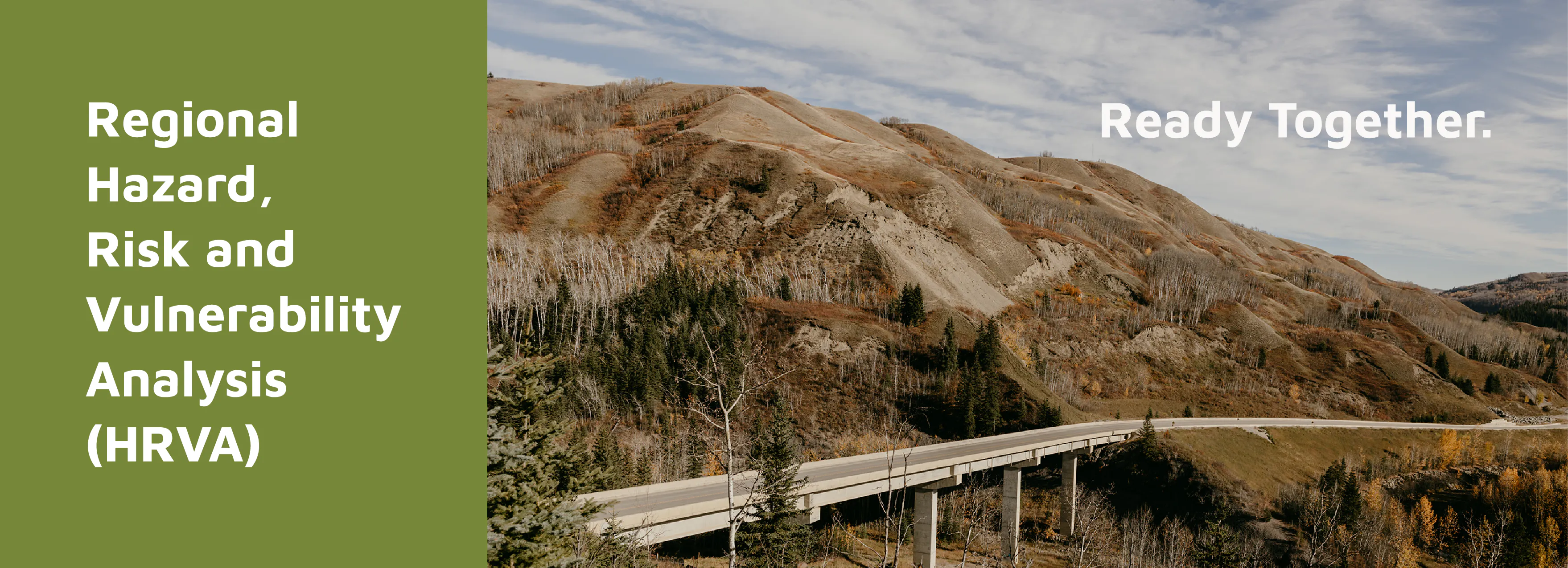
Regional Hazard, Risk and Vulnerability Analysis
The Peace River Regional District (PRRD), in collaboration with municipal partners, is inviting residents to help shape the region’s new Hazard, Risk and Vulnerability Analysis (HRVA). Starting August 11, the PRRD and municipal partners are hosting nine in-person community events to gather vital resident perspectives on local hazards. An online survey is open now to capture feedback, closing August 27, 2026, at 3pm (MST).
Required by law under BC’s Emergency and Disaster Management Act, the HRVA is a foundational tool used to calculate risk scores for hazards such as wildfires, flooding, windstorms and utility outages. While technical data determines the likelihood of a hazard occurring, resident feedback is essential for ‘consequence scoring’ – helping the PRRD understand the real-world impact these events have on residents and properties.
The public engagement for this project will:
Inform risk scores: Use resident feedback to calculate risk levels
Share key takeaways: Provide residents with early findings from the vulnerability assessment conducted by the project team
Guide future actions: Identify the most important risk mitigation and emergency preparedness steps for the region
The HRVA is being developed by the PRRD in partnership with the City of Dawson Creek, District of Chetwynd, District of Hudson’s Hope, District of Tumbler Ridge and Village of Pouce Coupe, with consultant support from Associated Engineering.
Ask the Project Team
Welcome to the HRVA Project Question Board
Feel free to post your questions here, and a member of the PRRD Project Team will publicly answer. Your inquiries are valuable, as they can assist other community members in gaining a deeper understanding of the project.


Thank you for your contribution!
Help us reach out to more people in the community
Share this with family and friends